")
")


 software
Similar presentations:


")

")
")


GPS (Global Positioning System)
1. GPS (Global Positioning System)
By Elena Kochetkova2. The concept of global positioning system (GPS)
• The Global Positioning System,originally Navstar GPS, is a
space-based radionavigation
system owned by the United
States government and operated
by the United States Air Force. It
is a global navigation satellite
system that provides geolocation
and time information to a GPS
receiver anywhere on or near
the Earth where there is an
unobstructed line of sight to four
or more GPS satellites.
3.
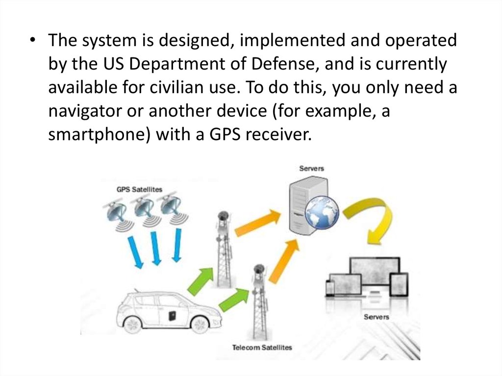
• The system is designed, implemented and operatedby the US Department of Defense, and is currently
available for civilian use. To do this, you only need a
navigator or another device (for example, a
smartphone) with a GPS receiver.
4. Inventors
• This invention isattribute to Roger L.
Easton of the Naval
Research
Laboratory, Ivan A.
Gettingof The
Aerospace Corporation,
and Bradford
Parkinson of
the Applied Physics
Laboratory.
5.
• The design of GPS isbased partly on
similar ground-based
radio-navigation
systems, such as
LORAN and the
Decca Navigator,
developed in the
early 1940s and used
by the British Royal
Navy during World
War II.
6.
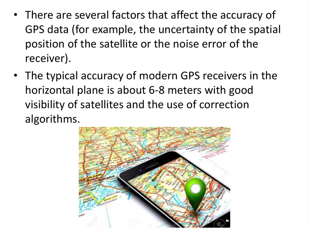
• There are several factors that affect the accuracy ofGPS data (for example, the uncertainty of the spatial
position of the satellite or the noise error of the
receiver).
• The typical accuracy of modern GPS receivers in the
horizontal plane is about 6-8 meters with good
visibility of satellites and the use of correction
algorithms.
7.
• Beginning in 2010, suchspace satellites are
launched, which
provide much higher
accuracy in determining
the coordinates. If other
devices have an
accuracy of 6 meters,
then with the help of
new satellites it is
possible to determine
the location with an
error of not more than
60-90 centimeters.
8.
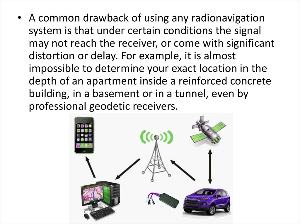
• A common drawback of using any radionavigationsystem is that under certain conditions the signal
may not reach the receiver, or come with significant
distortion or delay. For example, it is almost
impossible to determine your exact location in the
depth of an apartment inside a reinforced concrete
building, in a basement or in a tunnel, even by
professional geodetic receivers.