


 informatics
Similar presentations:

")


Spatial data development for SDI
1.
1Theme 2. SPATIAL DATA DEVELOPMENT FOR SDI
2.
2.1. Context and rationale of spatial data development2
2.1.1. Spatial data development in the times of 'traditional
mapping’:
1) Collection and distribution of geographic information used
to be highly centralized or controlled by powerful
government monopolies;
2) This pattern was established since the beginning of the
history of mapping, and lasted for centuries, until very recent
times;
3) It was a necessity that had never been challenged due to:
– The heavy costs and technology associated with
traditional mapping;
– The long time-scales of mapping projects that often
extended over several decades;
3.
34) Maps:
– Were not necessarily a consumer product;
– But were considered part of the national/local assets –
data mainly used by the government, for defense, taxes,
planning and development;
5) The governments determined the collection of the
information in specific types and formats required for its
intended applications;
4.
46) Such applications did not vary much across borders, and
therefore a similar range of products was developed in many
countries, which includes:
a) Cadasters, cadastral maps (scales from 1: 100 to 1: 5 000);
b) Large scale topographic maps for urban planning and
development (scale from 1:500 to 1:10 000);
c) National base maps’ (medium scale, 1:20 000 to 1:100 000);
d) Small scale maps (1:100 000 and smaller);
5.
57) National interoperability was achieved:
– Other mapping products and projects would use
mentioned main ‘basic maps’:
a) As a template;
b) As a common reference;
c) For building upon this ‘basic information’ the thematic
data and applications that were required;
8) Tacit cross-border interoperability also existed:
a) Needs across borders being very comparable;
b) National products across borders were also quite similar;
c) If edge-matching was not always evident, anyone from
country 'A' would be able to read and use a paper map from
country 'B with no special effort required.
6.
62.1.2. Spatial data development in the times of GIS technology:
1) The old 'mapping monopoly' was shaken, particularly with
the development of desktop GIS:
a) Usage and type of applications is now incredibly
diverse;
b) GI has become a mass-market product on its own or is
found integrated in hard- and software solutions;
c) Nearly anyone can create their own maps, thanks to the
use of desktop mapping, GIS, GPS surveying, satellite
imagery, scanning and intelligent software;
2) GIS technology is been employed in many different areas
and in newer fields of applications, as computer hardware and
GIS software applications provide improved capabilities at
reduced cost;
7.
73) However:
a) The overall cost of developing geospatial data required
to support GIS applications remains relatively high compared
with the hardware and software required for GIS;
b) GIS users tend to develop their own data sets, even if
there are existing geospatial data sets available for them,
because:
– They may not know available existing data sets that
could be appropriately used for their applications;
– Access to these data sets was difficult;
– They are not used to sharing data sets with other
sectors and/or organizations;
– Existing geospatial data sets stored in a certain GIS
system may not be easily exported to another system;
8.
84) These problems arise from the fact that existing geospatial
data sets have been poorly documented in a standardized
manner and consequently:
a) There have been duplicate efforts in geospatial data
development;
b) This sometimes hinders further dissemination of GIS
applications in local, national, regional and global
circumstances;
9.
95) As a result, the new era of GIS is still characterized by:
a) Many actors involved in data collection and distribution;
b) A proliferation of GI applications, product types, and
formats;
c) Duplication as a consequence of the difficulties to access
the existing data, and the highly specific quality of the data
collected;
d) Increasing difficulty in the exchange and use of data that
came from different organizations.
Note. Actor – coherent set of roles that users of an object
(entity) can play when interacting with the object (entity).
10.
102.2. Development of consistent reusable themes of base
cartographic content for SDI
1. The development of consistent reusable themes of base
cartographic content:
– Is recognized as a common ingredient in the construction
of national and global SDIs to provide common data
collection schemas.
Note. Schema – formal description of a model, particularly in
the form of scheme, diagram, graphic etc.
11.
112. Such themes are known as Framework, Fundamental,
Foundation, or Core data etc.;
3. Sometimes they are used as synonyms which, concerning
SDI, in general means 'basic spatial information' or 'basic
spatial data sets':
a) Which are a set of basic, principal, above all necessary GIS
layers or sets of such layers that in general accomplish the
functions of 'digital basic maps' ('digital background maps');
b) Which includes, as usual, information on:
– Geodetic network;
– Relief;
– River network;
– Transport network;
– Boundaries of administrative-territorial division and
some other spatial features.
12.
124. Sometimes 4 separate terms are used such as:
a) Reference data;
b) Core data;
c) Framework data, including fundamental data.
13.
132.2.1. Reference data
1. For cartographers:
1) The primary reference for cartographers is the geodetic
and leveling networks that give the surveyors the physical
links to a coordinate system;
2) This has recently and dramatically changed with satellite
positioning technologies, but the principle remains that the
primary reference is what gives access to geodetic
coordinates;
3) We are not really concerned with this type of reference
here, because;
a) It is generally not a part of the geographic information
(GI) that is used in GIS applications, but rather its
background;
b) Very often it is even not visible.
14.
2. For GI users:14
1) The ‘reference’ of the GI user is generally more closely
related to the real world;
2) It includes concrete themes, such as:
a) Infrastructure – roads, railways, power-lines, settlements, etc.;
b) Physical features – terrain elevation, hydrography, etc.;
3) It includes also less tangible features that have
nonetheless a significant role in human life:
a) Administrative boundaries;
b) Cadastral parcels;
c) Postal addresses, etc.;
4) All these features are keys that allow one to relate, to
‘refer’, external information to the real world, through the
media of its GI representation;
5) Therefore they may be considered as comprising a reference
for the GI user – the ‘reference data’ in the broad sense.
15.
152.2.2. Core data
1. On the one hand:
– The core data may be also considered as being the
common denominator of all GI data sets, being so because
being used by most applications;
– We can see that such approach to the core data is very
compatible with those deriving from the concept of the
‘reference data’.
16.
162. On another hand we'll use more accurate approach,
according to which:
a) Core data – a data set that is necessary for optimal use
of many other GIS applications, i.e. that provides a sufficient
spatial reference for most geo-located data;
b) Examples: The geodetic network; the spatial cadastral
framework;
c) Core data may refer to the fewest number of features and
characteristics required to represent a given data theme.
17.
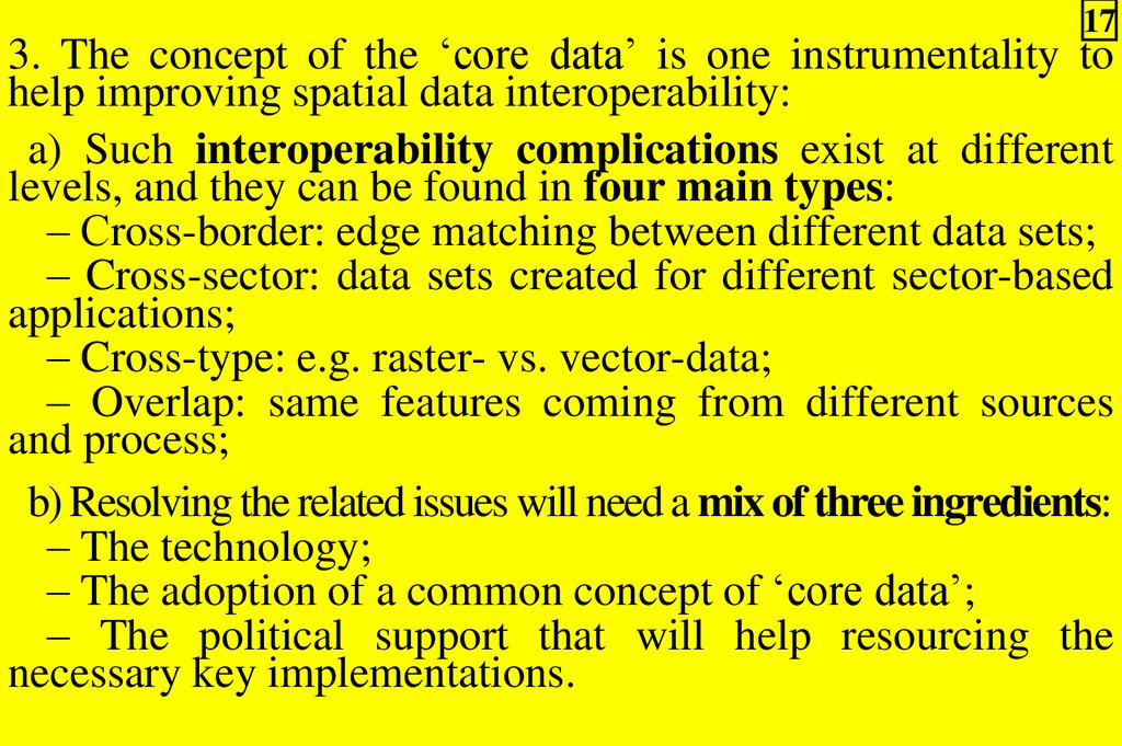
173. The concept of the ‘core data’ is one instrumentality to
help improving spatial data interoperability:
a) Such interoperability complications exist at different
levels, and they can be found in four main types:
– Сross-border: edge matching between different data sets;
– Cross-sector: data sets created for different sector-based
applications;
– Cross-type: e.g. raster- vs. vector-data;
– Overlap: same features coming from different sources
and process;
b) Resolving the related issues will need a mix of three ingredients:
– The technology;
– The adoption of a common concept of ‘core data’;
– The political support that will help resourcing the
necessary key implementations.
18.
184. The concept of the core data aims at sharing the core data
sets between users in order to facilitate the development of
GIS:
1) Although there may be many data providers, the data
sets they provide must be integrated to develop core data sets;
2) By sharing the cost of developing the core data, data
development cost can be minimized and shared between
users;
3) The users have to spend only a minimum amount of cost
for the core data in their GIS applications;
4) Core data sets would provide GIS users with the most
up-to-date and highest quality data sets publicly available.
19.
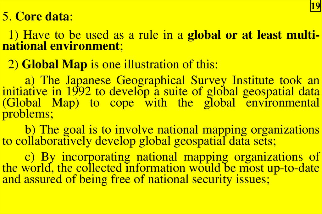
195. Core data:
1) Have to be used as a rule in a global or at least multinational environment;
2) Global Map is one illustration of this:
a) The Japanese Geographical Survey Institute took an
initiative in 1992 to develop a suite of global geospatial data
(Global Map) to cope with the global environmental
problems;
b) The goal is to involve national mapping organizations
to collaboratively develop global geospatial data sets;
c) By incorporating national mapping organizations of
the world, the collected information would be most up-to-date
and assured of being free of national security issues;
20.
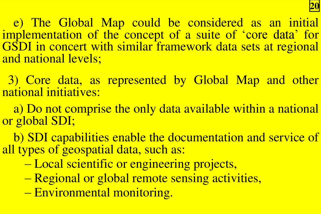
20e) The Global Map could be considered as an initial
implementation of the concept of a suite of ‘core data’ for
GSDI in concert with similar framework data sets at regional
and national levels;
3) Core data, as represented by Global Map and other
national initiatives:
a) Do not comprise the only data available within a national
or global SDI;
b) SDI capabilities enable the documentation and service of
all types of geospatial data, such as:
– Local scientific or engineering projects,
– Regional or global remote sensing activities,
– Environmental monitoring.
21.
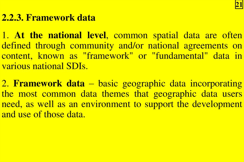
212.2.3. Framework data
1. At the national level, common spatial data are often
defined through community and/or national agreements on
content, known as "framework" or "fundamental" data in
various national SDIs.
2. Framework data – basic geographic data incorporating
the most common data themes that geographic data users
need, as well as an environment to support the development
and use of those data.
22.
223. The framework data’s key aspects are:
a) Specific layers of digital geographic data with content
specifications;
b) Procedures, technology, and guidelines that provide for
integration, sharing, and use of these data;
c) Institutional relationships and business practices that
encourage the maintenance and use of data.
4. The framework data represents a foundation on which
organizations can build by adding their own detail and
compiling other data sets.
23.
235. Fundamental Data are:
a) A dataset for which several government agencies,
regional groups and/or industry groups require a comparable
national coverage in order to achieve their corporate
objectives and responsibilities;
b) A subset of the framework data.
6. Existing data content may be enhanced, adjusted, or even
simplified:
a) To match a national or global framework specification;
b) To help the data exchange.
24.
247. Leverages of framework data development:
1) Aspects of such problem:
a) Thousands of organizations spend billions of dollars
each year producing and using geographic data;
b) Yet, they still do not have the information they need to
solve critical problems;
2) Framework data initiatives will greatly improve this
situation by leveraging individual geographic data efforts so
data can be exchanged at reasonable cost by government,
commercial, and nongovernmental contributors;
3) It provides basic geographic data in a common encoding
and makes them discoverable through a catalogue (See
Theme 4) in which anyone can participate;
4) Using Web mapping and advanced, distributed GIS
technology in the future, users can perform visual crossjurisdictional and cross-organisational analyses and
operations, and organizations can funnel their resources into
applications, rather than duplicating data production efforts.
25.
258. Actors in framework data development:
1) Users and producers of detailed data, such as utilities;
2) Users of small-scale, limited geographic data, such as:
a) Street networks;
b) Statistical areas;
c) Administrative units;
3) Data producers who create detailed data as a product or
a service;
4) Data producers who create low-resolution, small-scale,
limited themes for large areas;
5) Product providers who offer software, hardware, and
related systems;
26.
266) Service providers who offer:
a) System development;
b) Database development;
c) Operations support;
d) Consulting services;
7) Non-profit and educational institutions which:
a) Create and use a variety of geographic data;
b) Provide GIS-related services;
8) All organizations that build national and regional
framework efforts by coordinating their data collection and
development activities based on intersecting interests within a
community.
27.
272.3. Implementation approach
development concerning SDI
for
spatial
data
1. The ISO TC 211 Geomatics standardization activity is
working on two related areas of endeavor that will greatly
assist in the global specification of content models and
feature models for framework and non-framework data.
2. These include:
1) ISO 19109 - Rules for application schema;
2) ISO 19110 - Feature cataloguing methodology.
28.
283. ISO 19109:
1) The scope is defined as "… the rules for defining an
application schema, including the principles for classification
of geographic objects and their relationships to an application
schema";
2) In principle, using the Unified Modeling Language
(UML), software applications that provide access to
geospatial data, such as framework, would be defined in a
consistent way so as to improve sharing of data between
applications and even allow for real-time interaction between
applications;
3) Expressing the encoding of an application schema using
Geography Markup Language (GML) is a new technique to
formalize the packages of information being exchanged
between providers and users of spatial data.
29.
29Notes.
1. Unified Modeling Language (UML) – a schema language
that is used to develop computer-interpretable (data) models.
2. Geography Markup Language (GML) – an XML
encoding for transport and storage of geographic information
including both the spatial and non-spatial properties of
geographic features.
3. Extensible Markup Language (XML) – a document
creation language developed to replace HTML.
30.
304. ISO 19110:
1) Standard proposes a feature cataloguing methodology;
2) It is intended to define the approach and structures used
for an information provider to store the identity, meaning,
representation, and relationships of concepts or things in the
real world as they are managed in online systems;
3) Feature catalogue acts as a dictionary for feature types or
classes that can be used in software;
4) The definition of a single international, multilingual
catalogue would have tremendous value.
31.
315. Several national projects have been undertaken to build
standardized framework data content and/or encoding:
1) A project to develop framework specifications in
Switzerland, known as InterLIS, has had marked success
with this approach;
2) The Master Map of the Ordnance Survey in the
United Kingdom and the Framework Data Content
Standards under development in the United States are also
documented as abstract application schemas and include
GML encoding guidance to facilitate the exchange of data
and development of applications that support the published
models.
32.
322.4. Candidate national framework data categories
1. A variable number of data layers may be considered to be
common-use and of national or transnational importance as
"framework" data.
2. Framework data layers commonly nominated in national
context include:
1) Cadastral information;
2) Geodetic control;
3) Geographic feature names;
4) Orthoimagery;
5) Elevation;
6) Transportation;
7) Hydrography (surface water networks);
8) Governmental units.
33.
33Note. Orthoimagery – aerial photography from which
distortion and ground relief has been removed so that ground
features are displayed in their true planimetric positions.
2.5. Candidate global data categories
1. The Global Mapping concept was articulated by the
Ministry of Construction of Japan as a response to the United
Nations Conference on Environment and Development held
in Brazil in 1992.
2. Agenda 21 is an action program drawn up by the
conference, and it clearly makes the case that global baseline
spatial data is important to society's interaction with the
environment.
34.
343. The Global Mapping Project, also known as Global
Map:
1) Is addressing the compilation of suitable spatial data
products from existing international and national sources;
2) This provides a public set of reference data at transnational to global scales to assist decision-makers and society
in depicting global environmental concerns;
35.
354. Progress is being made in selecting and enhancing these
general purpose spatial data layers originally based on:
1) VMAP Level 0 (also known as Digital Chart of the
World) for vector themes;
2) Global Land Cover Characteristics Database from the
U.S. Geological Survey (USGS) for land cover, land use and
vegetation;
3) The 30-second GTOPO30 product also hosted by the
USGS.
5. Global Map Version 1.0 specifications for data
organisation were adopted at the International Steering
Committee for Global Mapping (ISCGM) meeting held in
conjunction with the Third GSDI Conference in Canberra,
Australia in November 1998.
6. As of February 2000, 74 countries are participating in the
collection or aggregation of large-scale map products to
update and package the above data sources.