Similar presentations:
Plane Detection in a 3D environment using a Velodyne Lidar Jacoby Larson UCSD ECE 172
1. Plane Detection in a 3D environment using a Velodyne Lidar Jacoby Larson UCSD ECE 172
2. Velodyne Lidar Sensor
3. Velodyne
Used by CMU and Stanford in DARPA Urban Challenge races4. Velodyne Technical Specifications
Problem Statement & MotivationComputer vision has a tough time
determining range in real time and
gathering data in 360 degrees at high
resolution
There is a need to classify objects in the
real world as more than just obstacles,
but as roads, driving lanes, curbs, trees,
buildings, cars, IEDs, etc.
3D laser range finding sensors such as the
Velodyne provide 360 degree ranging data
that can be used to classify objects in real
time
5. Problem Statement & Motivation
Related Research & BasicApproach
Stamos, Allen, “Geometry and texture recovery of scenes of large scale”,
Computer Vision and Image Understanding, Volume 88, Issue 2, pgs 94118, Nov. 2002
• Determine surface planes on roads,
buildings, etc.
• Find the intersections of neighboring
planes to produce set of edges
• Compare and match up these edges
with those of a 2D photo image
6. Related Research & Basic Approach
Intersection of Planes7. Intersection of Planes
Edges of Photos8. Edges of Photos
Combine Intersections and Edges9. Combine Intersections and Edges
Final Result10. Final Result
My ApproachSelect points randomly from lidar (1 million/second)
• This should allow real-time processing whereas their approach
was done offline because they looked at all data points
Compare neighbors of random point to determine if the
surface is planar and come up with a surface normal
Combine those points with similar surface normals
Select the group who’s surface normal matches the
expected road normal
Create a polygon from those points (Convex Hull vs. Alpha
Shapes)
Draw them on the screen
11. My Approach
Random points and their respective planes and normalsCompare surface normals and planes to group like planes
12. My Approach
Demonstration13. Demonstration
Screenshots14. Screenshots
15. Screenshots
16. Screenshots
17. Screenshots
18. Screenshots
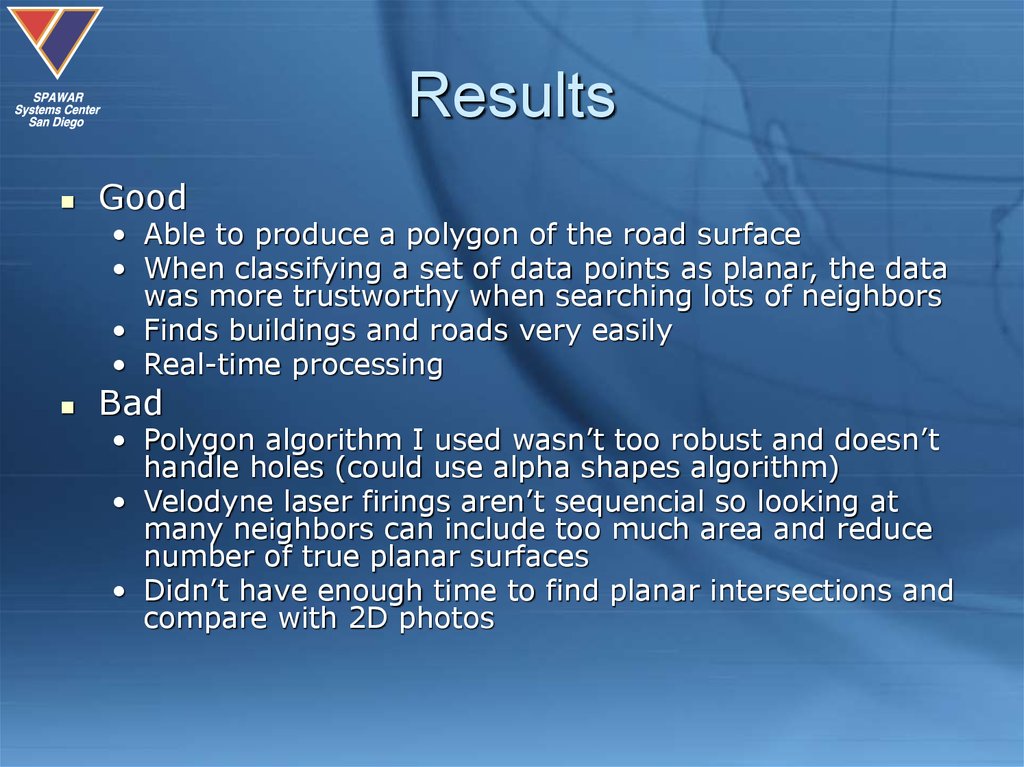
ResultsGood
• Able to produce a polygon of the road surface
• When classifying a set of data points as planar, the data
was more trustworthy when searching lots of neighbors
• Finds buildings and roads very easily
• Real-time processing
Bad
• Polygon algorithm I used wasn’t too robust and doesn’t
handle holes (could use alpha shapes algorithm)
• Velodyne laser firings aren’t sequencial so looking at
many neighbors can include too much area and reduce
number of true planar surfaces
• Didn’t have enough time to find planar intersections and
compare with 2D photos
19. Results
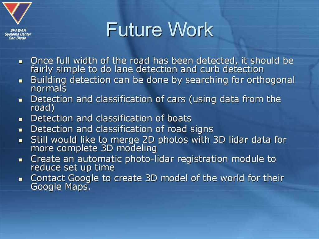
Future WorkOnce full width of the road has been detected, it should be
fairly simple to do lane detection and curb detection
Building detection can be done by searching for orthogonal
normals
Detection and classification of cars (using data from the
road)
Detection and classification of boats
Detection and classification of road signs
Still would like to merge 2D photos with 3D lidar data for
more complete 3D modeling
Create an automatic photo-lidar registration module to
reduce set up time
Contact Google to create 3D model of the world for their
Google Maps.


 informatics


