

 geography
Similar presentations:


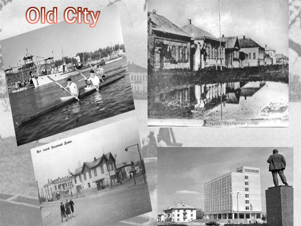
 and the most interesting places")


The Atyrau
1.
2.
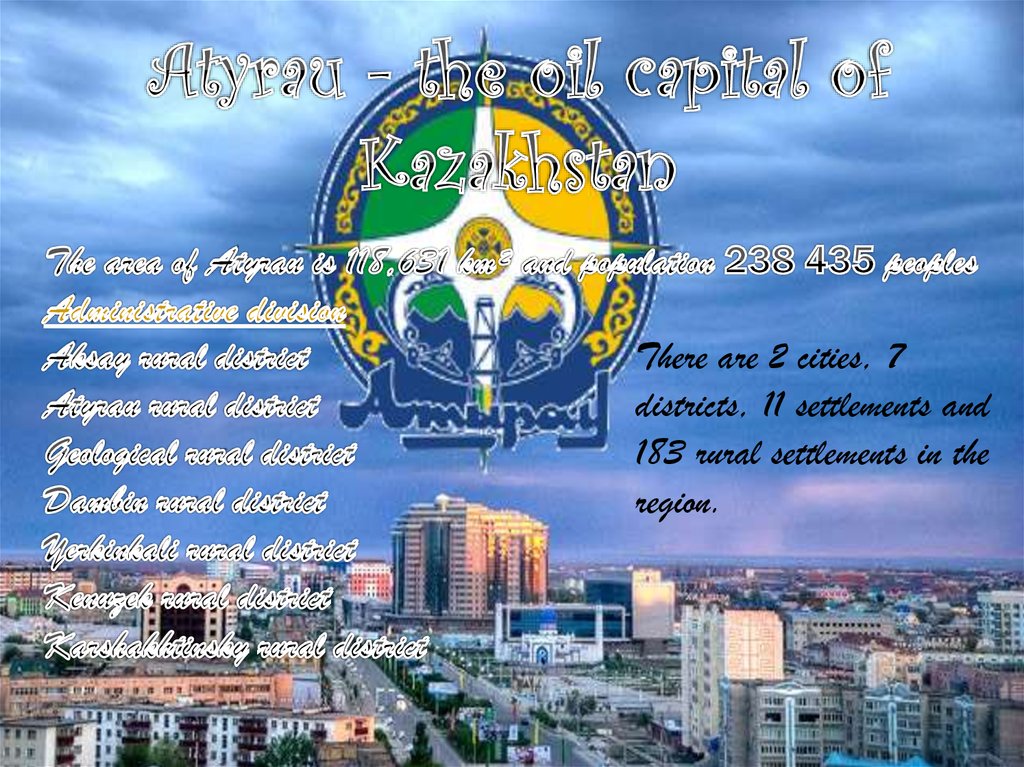
There are 2 cities, 7districts, 11 settlements and
183 rural settlements in the
region.
3.
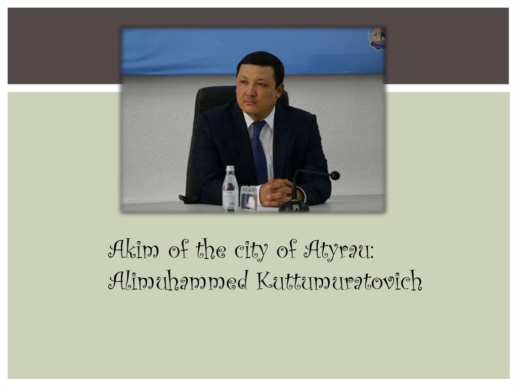
Akim of the city of Atyrau:Alimuhammed Kuttumuratovich
4.
Land reliefThe region is occupied by the north-eastern part of the Caspian lowland, the Lowland and the western edge of the Ustyurt
plateau, the northern part of the Caspian Sea. The slopes of the Uil, Sagyz and Zhem rivers, which are sloping southward to
the north, are split.
This region is occupied by the Zhem hill and the western slopes of the Ustyurt, the Ditching (214 m), its parts are occupied
by the Zailu (221m), the Tamga (175) ridges. The rivers Kainar and Zhem are located on the Imankarak (199m) coast of
Koykar, Karamurat, Alabie, Akkuduk and Kaban Rocks. They are made of light stones. On the left bank of the Ural River there
is Mount Inder. The height of the mountain is 52 m, length is 25-30 km and width is about 10 km.
Naryn sand (yellow) is the largest sand massif in the Atyrau region
In the southern and southwestern parts of the Caspian Depression sandy grains are common. The Left bank of the Volga
River and the coast of the Caspian Sea are represented by the Naryn sand and the Myntobe sands, Kaklaulet, Botay sands,
Oiyl and Sagiz interiors, Taisoigan, Buryak sands, and the Caspian Sea, Karakum. The largest of these sands is the Naryn
sand.
One of the most common types of reliefs on the territory of Atyrau is Sors. Their depth is 5-10 m. The Volga River runs
through the western part of the Russian border. Almost all spaces between the Volga and Ural rivers flowing into the
Caspian Sea are extracted by the Atyrau region. Geographically, the north-western part of the region lies in Europe, and the
entire eastern part of Asia lies in the desert zone.
At the same time, there will be meetings in Atyrau. The biggest issue is called the Prayer. It is located in the north-east of
the region.
5.
The Atyrau region has a very high concentration of continentality. The region is characterized byinsufficient natural moisture, dry wind, dust storms, hot summers, dry summers, and snowy (or
thin snowy) summers.
The hottest month - July, the average air temperature is 24-25 ° C, the general heat is 35-40
° C, sometimes more.
The annual rainfall is 220-230 mm, and the droughts do not exceed 80 mm, and the moisture
can evaporate from the water surface to 1000 mm, sometimes even more. In the seasons of the year,
mainly the western direction (northwest, sometimes south-west) prevails; average wind speed is 56 m / sec, on the seafront - 6-7 m / sec, with strong wind intensity up to 15 m / s.
The average January temperature in winter is -8 ° C, -12 ° C, in the far south -5 ° C, -6 °
C. In winter, wind blows mainly east (south-east and north-east), intensity 6-7 m / sec. More
than half of the annual precipitation is in winter.
6.
All places of interest in Atyrau are sights with a richhistory. They are located both in the city center and on
the outskirts. Here are the best ones:
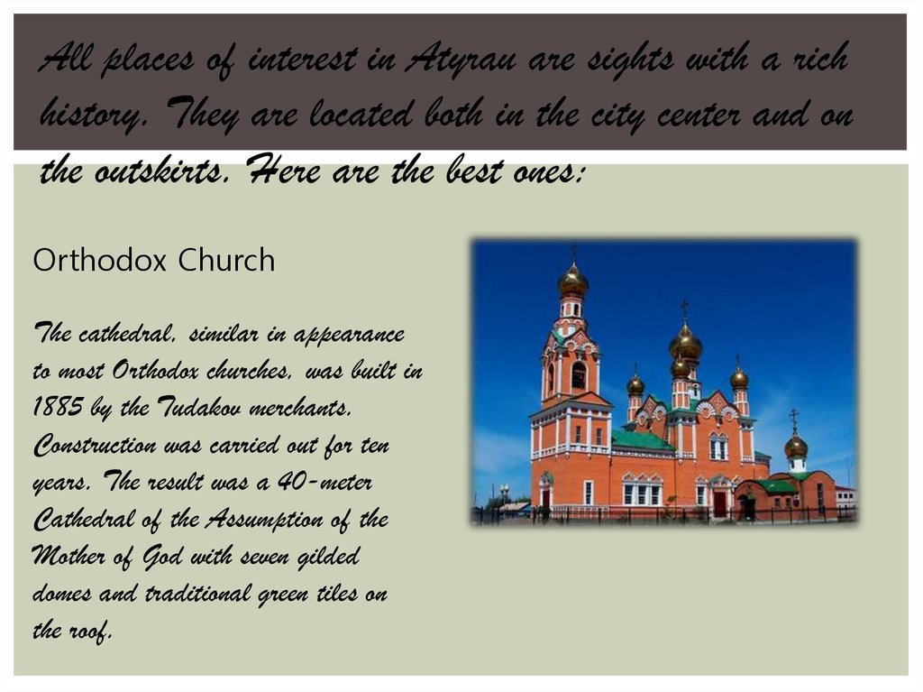
Orthodox Church
The cathedral, similar in appearance
to most Orthodox churches, was built in
1885 by the Tudakov merchants.
Construction was carried out for ten
years. The result was a 40-meter
Cathedral of the Assumption of the
Mother of God with seven gilded
domes and traditional green tiles on
the roof.
7. Monument to Dina Nurpeisova
MONUMENT TO DINA NURPEISOVADina Nurpeisova is a famous composer and musician in Kazakhstan. Her mastery
of dombra had no equal, and her works became a harmonious transition from the
classical heritage of dombra music to modern art.
8.
9.
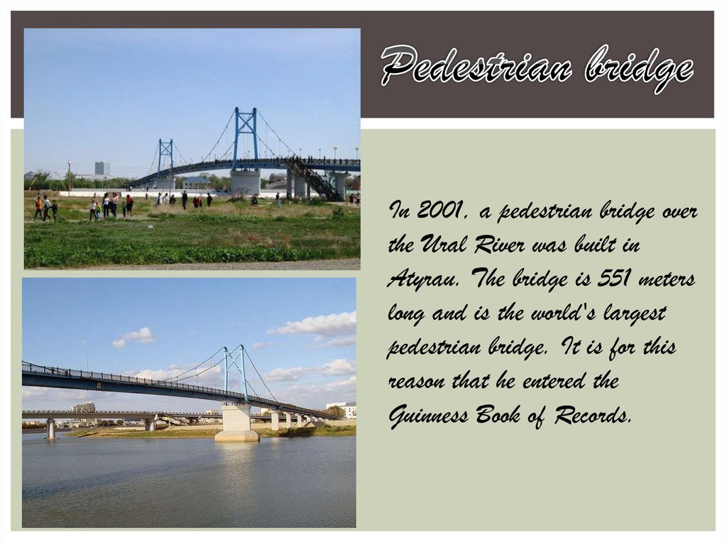
In 2001, a pedestrian bridge overthe Ural River was built in
Atyrau. The bridge is 551 meters
long and is the world's largest
pedestrian bridge. It is for this
reason that he entered the
Guinness Book of Records.