
 english
Similar presentations:


Chatyr tau
1.
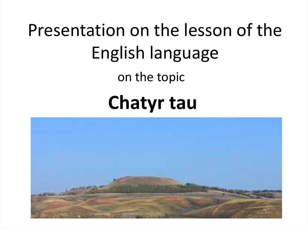
Presentation on the lesson of theEnglish language
on the topic
Chatyr tau
2.
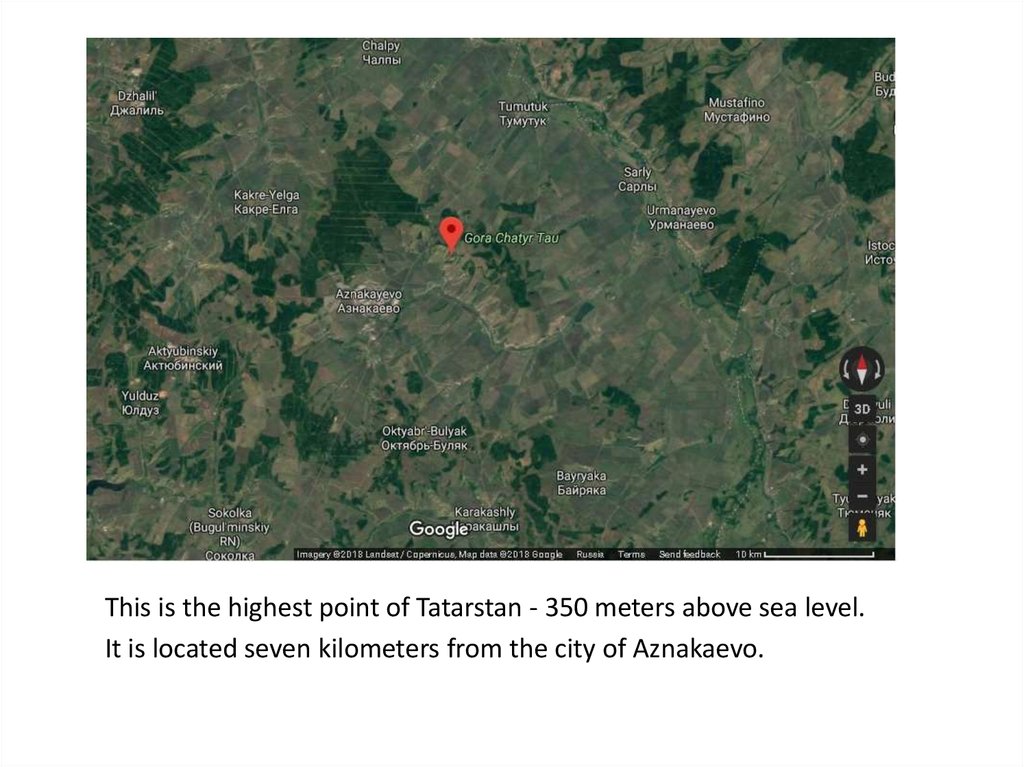
This is the highest point of Tatarstan - 350 meters above sea level.It is located seven kilometers from the city of Aznakaevo.
3.
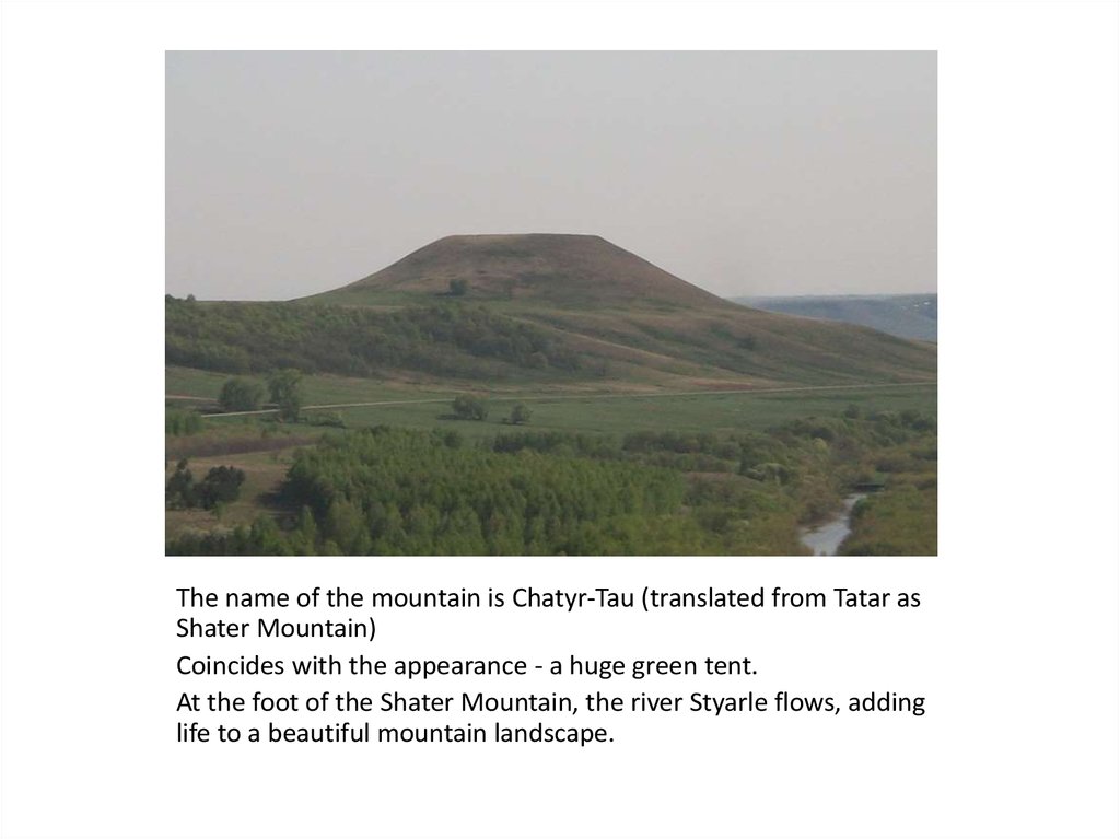
The name of the mountain is Chatyr-Tau (translated from Tatar asShater Mountain)
Coincides with the appearance - a huge green tent.
At the foot of the Shater Mountain, the river Styarle flows, adding
life to a beautiful mountain landscape.
4.
The mountain offers a panoramic view of the surroundings, hilly terrain andforests.
Twenty kilometers from the mountain, beyond the river Ik is Bashkortostan,
villages and villages which can also be clearly seen.
The Shater-Mountain and its environs area is one hundred and thirty
hectares.
5.
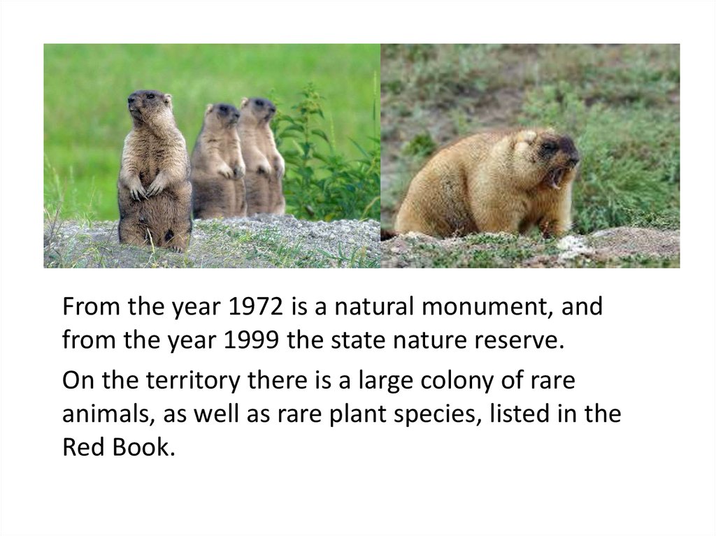
From the year 1972 is a natural monument, andfrom the year 1999 the state nature reserve.
On the territory there is a large colony of rare
animals, as well as rare plant species, listed in the
Red Book.
6.
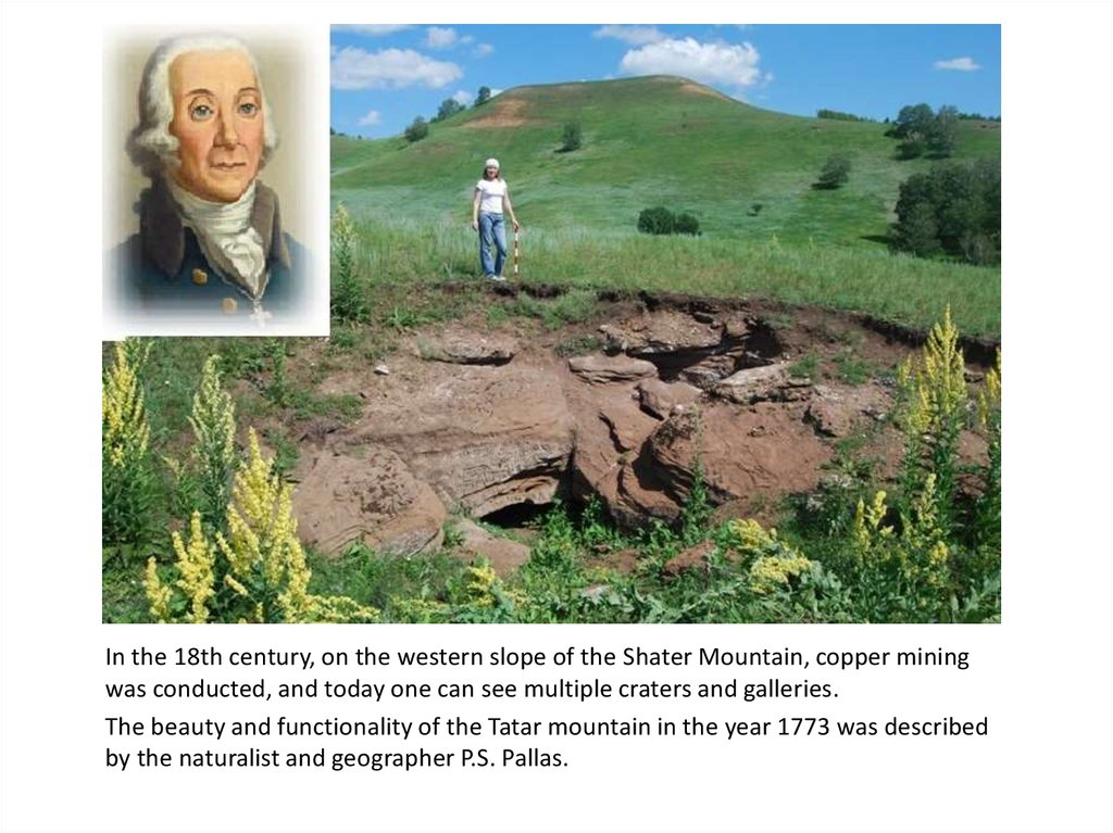
In the 18th century, on the western slope of the Shater Mountain, copper miningwas conducted, and today one can see multiple craters and galleries.
The beauty and functionality of the Tatar mountain in the year 1773 was described
by the naturalist and geographer P.S. Pallas.
7.
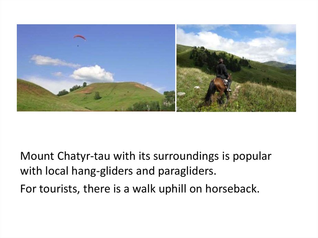
Mount Chatyr-tau with its surroundings is popularwith local hang-gliders and paragliders.
For tourists, there is a walk uphill on horseback.
8.
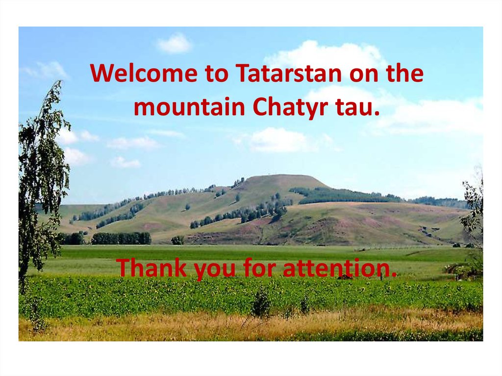
Welcome to Tatarstan on themountain Chatyr tau.
Thank you for attention.