 english
Similar presentations:


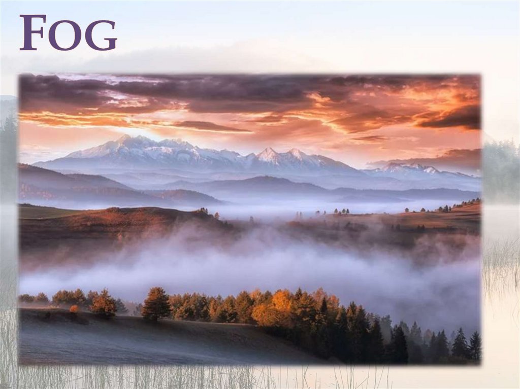
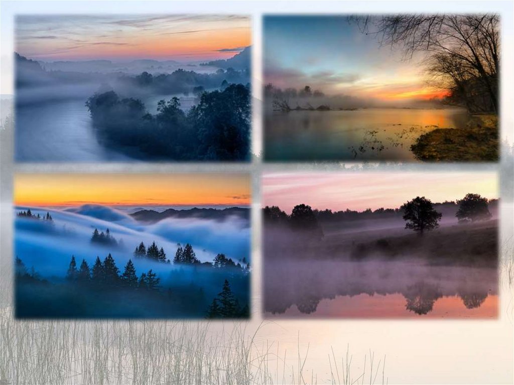
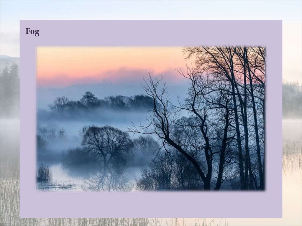
Fog
1.
2.
3.
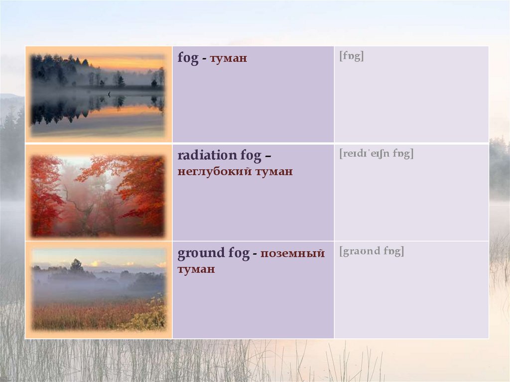
fog - туман[fɒg]
radiation fog –
[reɪdɪˈeɪʃn fɒg]
неглубокий туман
ground fog - поземный
туман
[graʊnd fɒg]
4.
advection fog -[ədˈvekʃn fɒg]
адвективный туман
steam fog – водяной
[stiːm fɒg]
туман
frontal fog фронтальный туман
[frʌntl fɒg]
5.
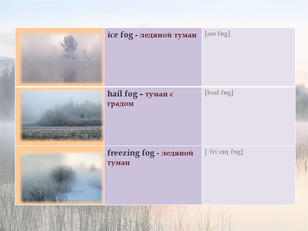
ice fog - ледяной туман[aɪs fɒg]
hail fog – туман с
[heɪl fɒg]
градом
freezing fog - ледяной
туман
[ˈfriːzɪŋ fɒg]
6.
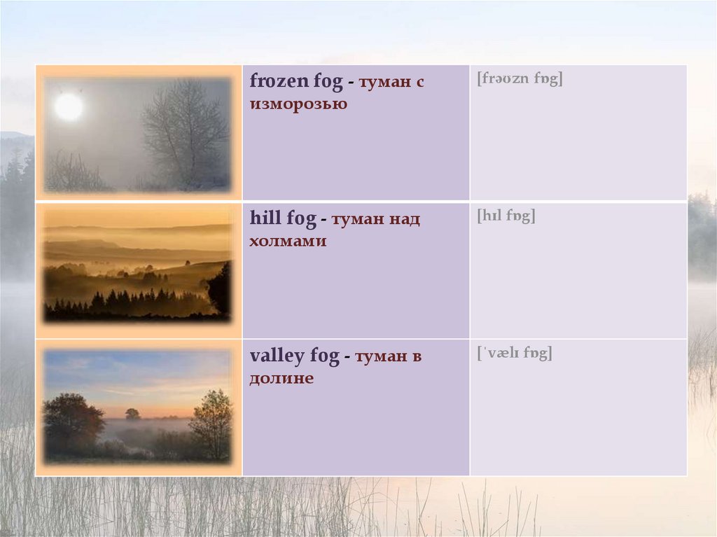
frozen fog - туман с[frəʊzn fɒg]
изморозью
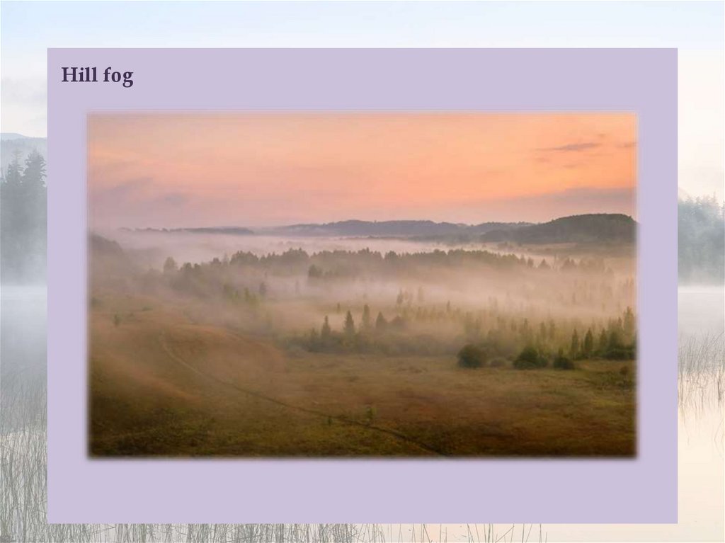
hill fog - туман над
[hɪl fɒg]
холмами
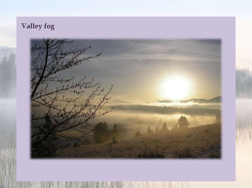
valley fog - туман в
долине
[ˈvælɪ fɒg]
7.
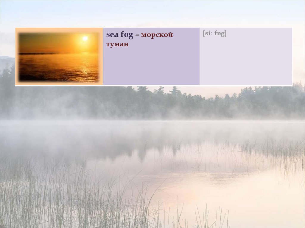
sea fog – морскойтуман
[siː fɒg]
8.
Fog9.
Fog is a visible aerosol consisting of tiny water droplets or ice crystals suspended inthe air at or near the Earth's surface. Fog can be considered a type of low-lying cloud
usually resembling stratus, and is heavily influenced by nearby bodies of water,
topography, and wind conditions. In turn, fog has affected many human activities,
such as shipping, travel, and warfare.
Fog appears when water vapor (water in its gaseous form) condenses. During
condensation, molecules of water vapor combine to make tiny liquid water droplets
that hang in the air. Sea fog, which shows up near bodies of saline water, is formed as
water vapor condenses on bits of salt. Fog is similar to, but less transparent than,
mist.
The term fog is typically distinguished from the more generic term cloud in that fog
is low-lying, and the moisture in the fog is often generated locally (such as from a
nearby body of water, like a lake or the ocean, or from nearby moist ground or
marshes).
By definition, fog reduces visibility to less than 1 km, whereas mist causes lesser
impairment of visibility.
For aviation purposes in the UK, a visibility of less than 5 km but greater than 999 m
is considered to be mist if the relative humidity is 95% or greater; below 95%, haze is
reported.
10.
Fog forms when the difference between air temperature and dew point is less than 2.5°C.
Fog begins to form when water vapor condenses into tiny water droplets that are
suspended in the air. Some examples of ways that water vapor is added to the air are
by wind convergence into areas of upward motion; precipitation or virga falling from
above; daytime heating evaporating water from the surface of oceans, water bodies, or
wet land; transpiration from plants; cool or dry air moving over warmer water; and
lifting air over mountains. Water vapor normally begins to condense on condensation
nuclei such as dust, ice, and salt in order to form clouds. Fog, like its elevated cousin
stratus, is a stable cloud deck which tends to form when a cool, stable air mass is
trapped underneath a warm air mass.
Fog normally occurs at a relative humidity near 100%. This occurs from either added
moisture in the air, or falling ambient air temperature. However, fog can form at
lower humidities, and can sometimes fail to form with relative humidity at 100%. At
100% relative humidity, the air cannot hold additional moisture, thus, the air will
become supersaturated if additional moisture is added.
11.
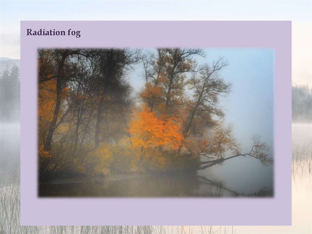
Radiation fog12.
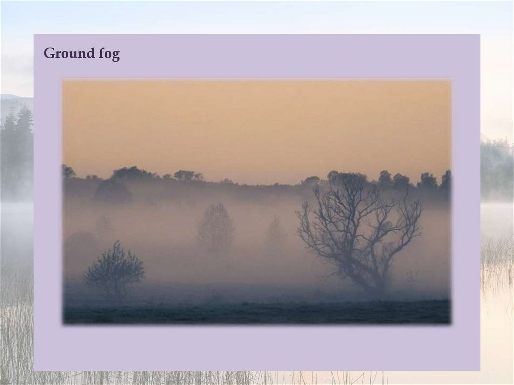
Ground fog13.
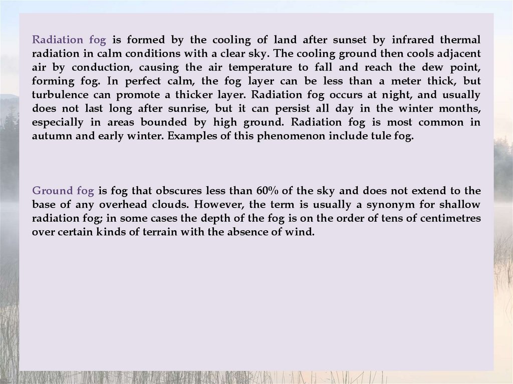
Radiation fog is formed by the cooling of land after sunset by infrared thermalradiation in calm conditions with a clear sky. The cooling ground then cools adjacent
air by conduction, causing the air temperature to fall and reach the dew point,
forming fog. In perfect calm, the fog layer can be less than a meter thick, but
turbulence can promote a thicker layer. Radiation fog occurs at night, and usually
does not last long after sunrise, but it can persist all day in the winter months,
especially in areas bounded by high ground. Radiation fog is most common in
autumn and early winter. Examples of this phenomenon include tule fog.
Ground fog is fog that obscures less than 60% of the sky and does not extend to the
base of any overhead clouds. However, the term is usually a synonym for shallow
radiation fog; in some cases the depth of the fog is on the order of tens of centimetres
over certain kinds of terrain with the absence of wind.
14.
Advection fog15.
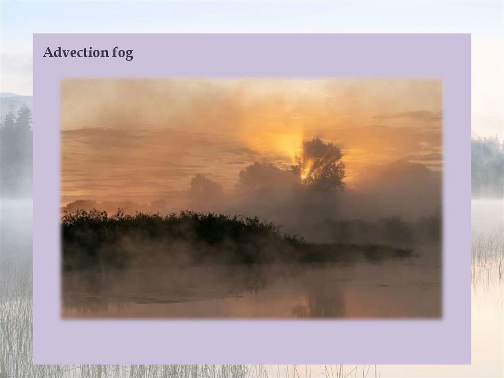
Advection fog occurs when moist air passes over a cool surface by advection (wind)and is cooled. It is common as a warm front passes over an area with significant
snow-pack. It is most common at sea when moist air encounters cooler waters,
including areas of cold water upwelling, such as along the California coast (see San
Francisco fog). A strong enough temperature difference over water or bare ground can
also cause advection fog.
Although strong winds often mix the air and can disperse, fragment, or prevent many
kinds of fog, markedly warmer and humid air blowing over a snowpack can continue
to generate advection fog at elevated velocities up to 80 km/h or more – this fog will
be in a turbulent, rapidly moving, and comparatively shallow layer, observed as a few
centimetres/inches in depth over flat farm fields, flat urban terrain and the like,
and/or form more complex forms where the terrain is different such as rotating areas
in the lee of hills or large buildings and so on.
Fog formed by advection along the California coastline is propelled onto land by one
of several processes. A cold front can push the marine layer coast-ward, an occurrence
most typical in the spring or late fall. During the summer months, a low-pressure
trough produced by intense heating inland creates a strong pressure gradient,
drawing in the dense marine layer. Also, during the summer, strong high pressure
aloft over the desert southwest, usually in connection with the summer monsoon,
produces a south to southeasterly flow which can drive the offshore marine layer up
the coastline; a phenomenon known as a "southerly surge", typically following a
coastal heat spell.
16.
Steam fog17.
Frontal fog18.
Ice fog19.
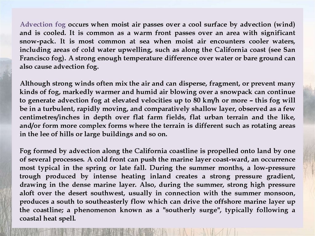
Evaporation fog or steam fog forms over bodies of water overlain by much colder air;this situation can also lead to the formation of steam devils, which look like their
dust counterparts. Lake effect fog is of this type, sometimes in combination with
other causes like radiation fog. It tends to differ from most advective fog formed over
land in that it is, like lake-effect snow, a convective phenomenon, resulting in fog
that can be very dense and deep and looks fluffy from above.
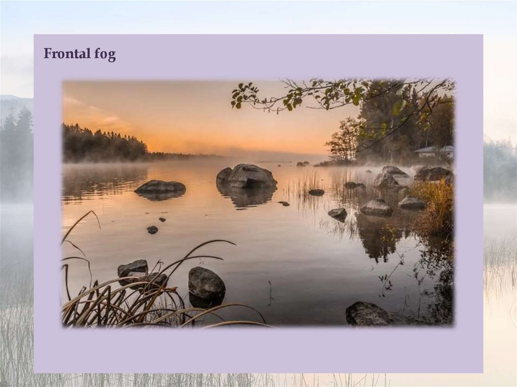
Frontal fog forms in much the same way as stratus cloud near a front when raindrops,
falling from relatively warm air above a frontal surface, evaporate into cooler air close
to the Earth's surface and cause it to become saturated. This type of fog can be the
result of a very low frontal stratus cloud subsiding to surface level in the absence of
any lifting agent after the front passes.
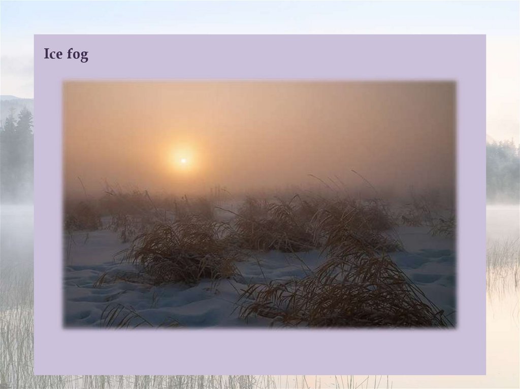
Ice fog forms in very low temperatures and can be the result of other mechanisms
mentioned here, as well as the exhalation of moist warm air by herds of animals. It
can be associated with the diamond dust form of precipitation, in which very small
crystals of ice form and slowly fall. This often occurs during blue sky conditions,
which can cause many types of halos and other results of refraction of sunlight by the
airborne crystals.
20.
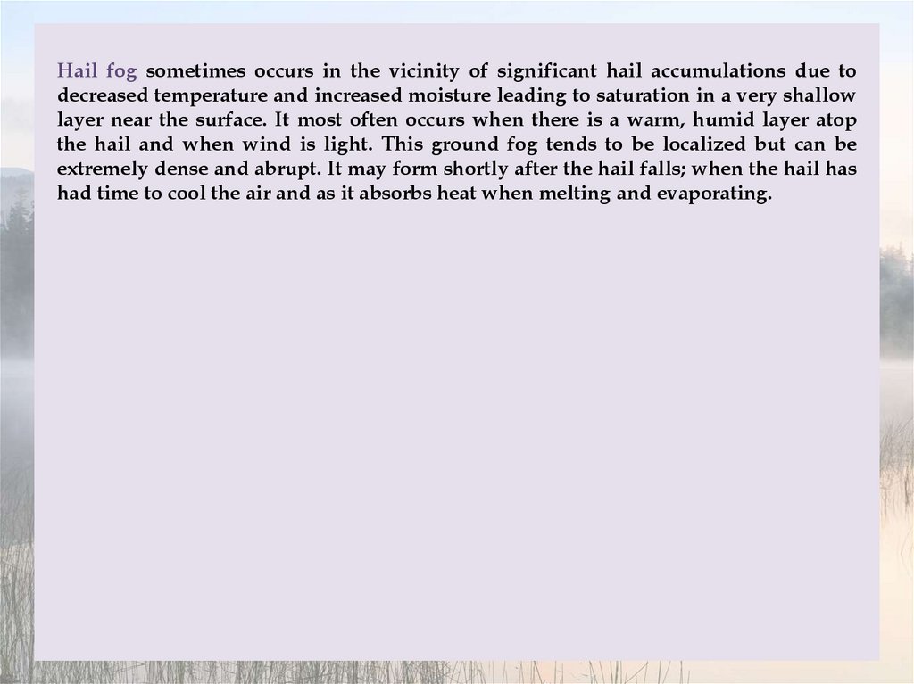
Hail fog21.
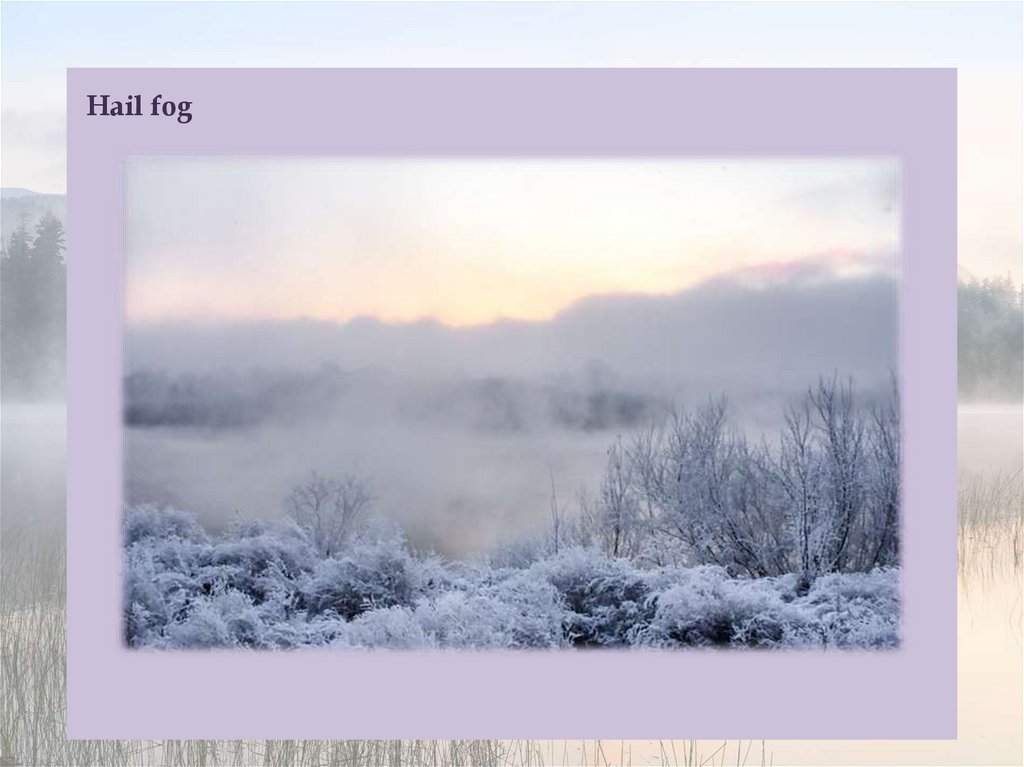
Hail fog sometimes occurs in the vicinity of significant hail accumulations due todecreased temperature and increased moisture leading to saturation in a very shallow
layer near the surface. It most often occurs when there is a warm, humid layer atop
the hail and when wind is light. This ground fog tends to be localized but can be
extremely dense and abrupt. It may form shortly after the hail falls; when the hail has
had time to cool the air and as it absorbs heat when melting and evaporating.
22.
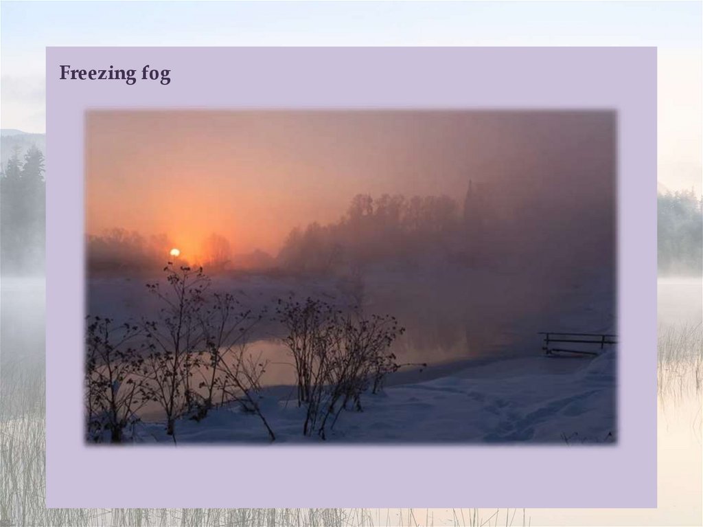
Freezing fog23.
Freezing fog occurs when liquid fog droplets freeze to surfaces, forming white soft orhard rime. This is very common on mountain tops which are exposed to low clouds. It
is equivalent to freezing rain, and essentially the same as the ice that forms inside a
freezer which is not of the "frostless" or "frost-free" type. The term "freezing fog" may
also refer to fog where water vapor is super-cooled, filling the air with small ice
crystals similar to very light snow. It seems to make the fog "tangible", as if one could
"grab a handful".
In the western United States, freezing fog may be referred to as pogonip. It occurs
commonly during cold winter spells, usually in deep mountain valleys. The word
pogonip is derived from the Shoshone word paγi̵nappi̵h, which means "cloud". In
The Old Farmer's Almanac, in the calendar for December, the phrase "Beware the
Pogonip" regularly appears. In his anthology Smoke Bellew, Jack London described a
pogonip which surrounded the main characters, killing one of them.
The phenomenon is also extremely common in the inland areas of the Pacific
Northwest, with temperatures in the 10 to 30 °F range. The Columbia Plateau
experiences this phenomenon most years due to temperature inversions, sometimes
lasting for as long as three weeks. The fog typically begins forming around the area
of the Columbia River and expands, sometimes covering the land to distances as far
away as LaPine, Oregon, almost 150 miles due south of the river and into south
central Washington.
24.
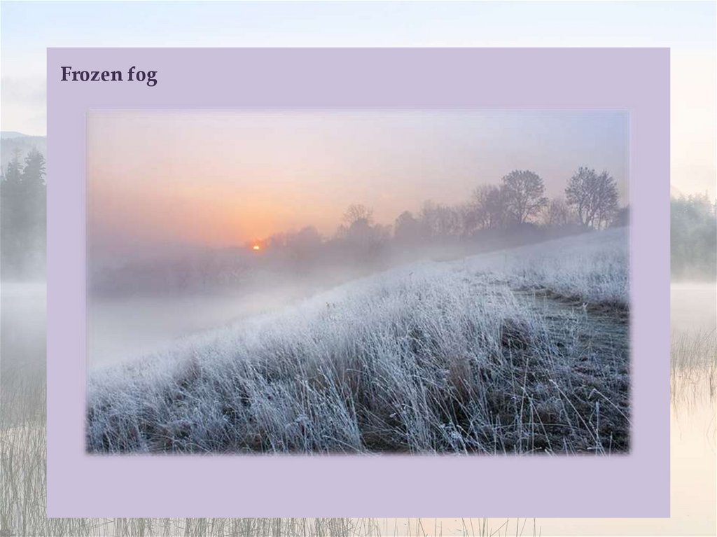
Frozen fog25.
Hill fog26.
Valley fog27.
Frozen fog (also known as ice fog) is any kind of fog where the droplets have frozeninto extremely tiny crystals of ice in midair. Generally, this requires temperatures at
or below −35 °C, making it common only in and near the Arctic and Antarctic regions.
It is most often seen in urban areas where it is created by the freezing of water vapor
present in automobile exhaust and combustion products from heating and power
generation. Urban ice fog can become extremely dense and will persist day and night
until the temperature rises. Extremely small amounts of ice fog falling from the sky
form a type of precipitation called ice crystals, often reported in Utqiaġvik, Alaska.
Ice fog often leads to the visual phenomenon of light pillars.
Up-slope fog or hill fog forms when winds blow air up a slope (called orographic
lift), adiabatically cooling it as it rises, and causing the moisture in it to condense.
This often causes freezing fog on mountaintops, where the cloud ceiling would not
otherwise be low enough.
Valley fog forms in mountain valleys, often during winter. It is essentially a radiation
fog confined by local topography, and can last for several days in calm conditions. In
California's Central Valley, valley fog is often referred to as tule fog.
28.
Sea fog29.
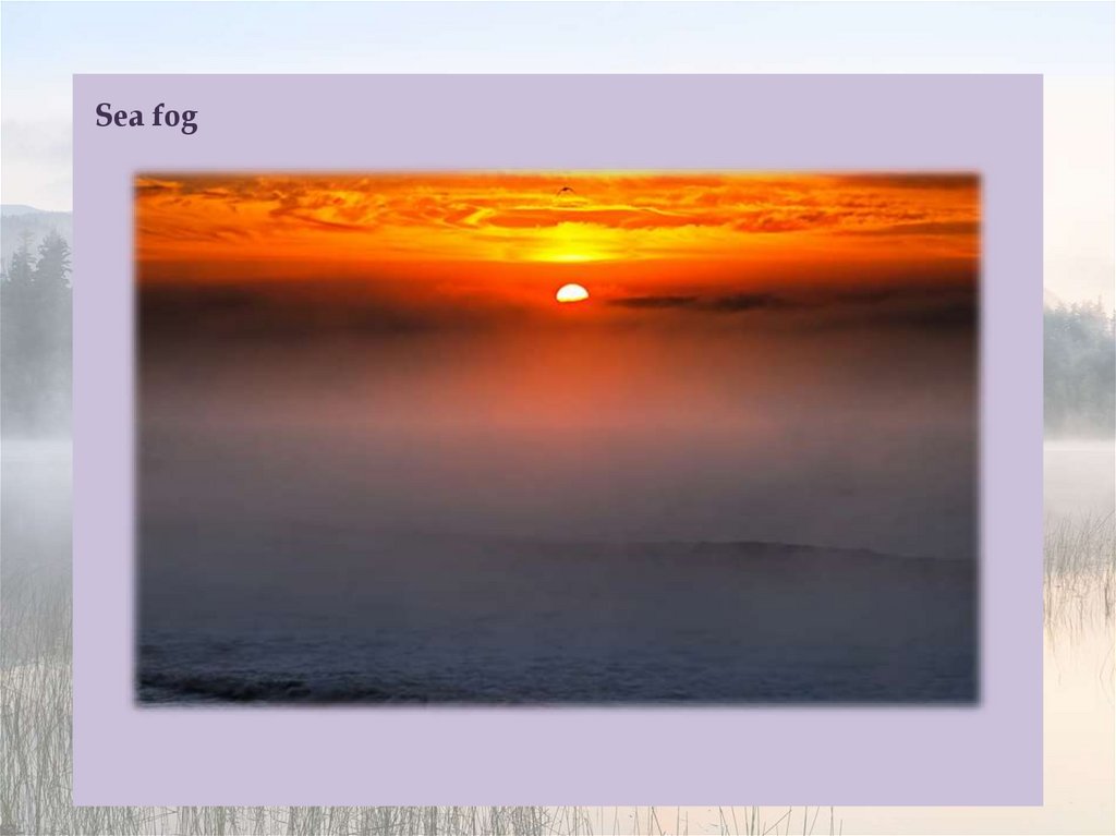
Sea fog (also known as haar or fret) is heavily influenced by the presence of sea sprayand microscopic airborne salt crystals. Clouds of all types require minute hygroscopic
particles upon which water vapor can condense. Over the ocean surface, the most
common particles are salt from salt spray produced by breaking waves. Except in
areas of storminess, the most common areas of breaking waves are located near
coastlines, hence the greatest densities of airborne salt particles are there.
Condensation on salt particles has been observed to occur at humidities as low as
70%, thus fog can occur even in relatively dry air in suitable locations such as the
California coast. Typically, such lower humidity fog is preceded by a transparent
mistiness along the coastline as condensation competes with evaporation, a
phenomenon that is typically noticeable by beachgoers in the afternoon. Another
recently discovered source of condensation nuclei for coastal fog is kelp seaweed.
Researchers have found that under stress (intense sunlight, strong evaporation, etc.),
kelp releases particles of iodine which in turn become nuclei for condensation of
water vapor, causing fog that diffuses direct sunlight.